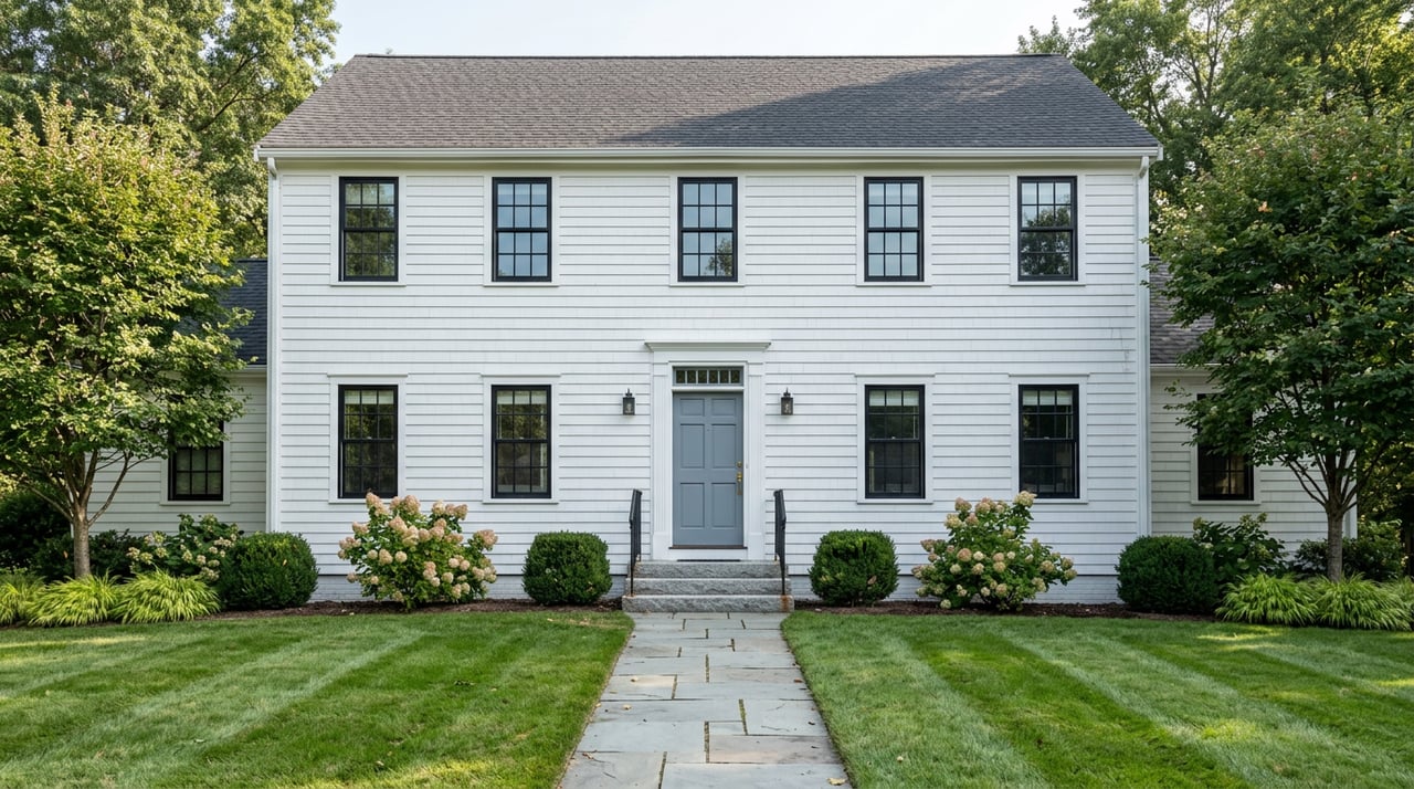
Two homes sit half a mile apart in Newton, both within an easy walk of a Green Line stop. One sits on a parcel where the owner can now add units to the existing structure without asking the City Council for permission. The other sits under zoning rules written in 1987, where anything beyond a two-family conversion still needs a special permit and a public hearing. The difference has nothing to do with which street looks nicer, which home costs more, or which village has a reputation for wanting to stay the way it is. It comes down to acreage math and a historic district boundary drawn years before either owner bought the house.
That is the part of Newton's zoning story that gets flattened in most village comparisons: the line between "can redevelop by right" and "can't without a fight" wasn't drawn to protect the expensive villages and open up the affordable ones. It was drawn by a set of technical requirements, and the results don't line up as neatly with price or prestige as most buyers assume.
What The Village Center Overlay District Actually Changed
In December 2023, Newton's City Council adopted the Village Center Overlay District, or VCOD, to bring the city into compliance with the state's MBTA Communities Law. The new zoning created three districts: VC2 and VC3 for commercial cores, and Multi Residence Transit (MRT) as a gentler transition into surrounding residential blocks. As of a February 2026 update to the City Council's Zoning and Planning Committee, the city's chief of long-range planning, Nora Masler Colello, described the overlay as covering seven transit stations and village centers: Newton Centre, Newton Highlands, Eliot (the T stop serving Newton Upper Falls), Waban, Auburndale, West Newton, and Newtonville.
That is the entire footprint. The overlay applies to roughly 3 percent of Newton's land area, almost all of it within a half mile of a Green Line stop or commuter rail station. Everywhere else in the city, including six of Newton's thirteen named villages, construction is still governed by the zoning map the city adopted in 1987.
Why Chestnut Hill Isn't In The Overlay, And Why Auburndale Almost Wasn't Either
The obvious assumption is that Newton drew the line to shield its priciest addresses. Chestnut Hill, long regarded as Newton's most expensive village, sits outside the VCOD entirely. So does Newton Corner, Newton Lower Falls, Nonantum, Oak Hill, and Thompsonville, a village so lightly traded that only a handful of residential sales closed there in the years before 2024.
But the planning record tells a more mechanical story. During the drafting process, planners noted that Chestnut Hill couldn't be included largely because it sits inside a historic district, borders land owned by a private school, and includes a stretch already zoned for its own development track near the Boston College T stop. Auburndale, which did make the final list, nearly didn't. Early drafts flagged that once you subtracted priority streets and city-owned land, Auburndale fell short of the five contiguous acres the law required for a district. It squeaked in anyway.
That is the part worth sitting with if you're weighing one Newton village against another. The overlay isn't a map of where the city wants density and where it wants to preserve character. It's a map of where a set of acreage and ownership rules happened to line up, and where they didn't.
| In the VCOD overlay | Outside the overlay |
|---|---|
| Newton Centre | Chestnut Hill |
| Newton Highlands | Newton Corner |
| Eliot / Newton Upper Falls | Newton Lower Falls |
| Waban | Nonantum |
| Auburndale | Oak Hill |
| West Newton | Thompsonville |
| Newtonville |
Former City Councilor Deb Crossley, who chaired the Zoning and Planning Committee during much of this process, traces the current rules back to a single turning point. She described 1987 as the year the city tightened its zoning, capped building heights, barred housing above retail, and required special permits for nearly all multifamily construction. As she put it to Fig City News, "development isn't a friendly word anymore." Everything the VCOD does is an attempt to loosen a small piece of that nearly forty-year-old framework, one corridor at a time.
By Right Doesn't Mean By Default
Here is the detail that matters most for anyone using zoning status as a proxy for how a village will look in five or ten years: the VCOD is an overlay, not a replacement. Property owners inside the seven rezoned centers get a choice. They can build under the new VCOD rules or stick with the underlying zoning that was already there. Nothing forces a homeowner or a developer to use the new capacity.
That choice shows up in the numbers. At the February 2026 committee meeting, Masler Colello reported that while a handful of projects have moved forward under VCOD, including a fully affordable development in Ward 2 and several VC2 proposals in West Newton that Councilor Susan Albright pointed to specifically, overall activity under the ordinance has remained limited. What has picked up, she noted, is adaptive reuse: projects that keep an existing building's front facade and add units behind or above it, which the MRT district rewards with a larger allowable footprint. That is a meaningfully different outcome than the wall of new four-story buildings some residents pictured when the ordinance passed.
The Trio Test
If you want a concrete sense of what the new zoning was and wasn't built to accommodate, look at Trio, the large residential development on Washington Street in Newtonville. Trio sits on a lot larger than 120,000 square feet with two buildings, the smaller of which has a footprint of about 20,000 square feet. Under VCOD rules, any new building on a lot over 30,000 square feet needs a special permit, and even the district with the largest allowance caps footprints at 15,000 square feet. Trio, in other words, could not have been built under the zoning Newton just adopted. It went through the city's older, discretionary special permit process instead, the same track that governs anything the new overlay doesn't reach.
That is the practical takeaway for a buyer sizing up a village: the biggest, most visible changes to Newton's streetscape are not coming through the by-right path everyone has been discussing. They are still running through City Council hearings, the same slower and more political process that has always shaped Newton's larger projects, VCOD or not.
What This Means If You're Comparing Villages
For a family or a downsizing buyer weighing one Newton village against another, the VCOD line is real, but it answers a narrower question than most people think it does. A few things worth checking before you treat "in the overlay" or "outside the overlay" as a stand-in for a village's future:
- Ask what specific zoning district applies to the parcel, not just the village name. A single village can straddle VC2, VC3, MRT, and unrezoned single-family blocks within a few streets of each other, as it does along Centre Street between Paul Street and Hyde Street, where MRT zoning links Newton Centre to Newton Highlands.
- Look at adjacent lot sizes. Large parcels near a village center carry more redevelopment potential than the overlay itself, since anything sizable still needs a special permit either way.
- Don't treat exclusion from the overlay as protection. The current zoning in Chestnut Hill, Newton Corner, Newton Lower Falls, Nonantum, Oak Hill, and Thompsonville reflects 1987 rules that remain in place today, not a legal guarantee that they'll stay untouched indefinitely.
- Don't treat inclusion as a certainty of change. VCOD is opt-in, the reported pipeline remains modest, and adaptive reuse, which preserves a building's front facade, has been the more common outcome so far.
A Few Questions Worth Asking Directly
Does buying in one of the seven rezoned village centers mean new construction is coming to my block? Not automatically. The zoning gives property owners an option, and as of the most recent City Council update, the number of projects actually moving forward has stayed limited relative to the capacity the ordinance created.
Is the zoning in the six untouched villages permanent? No. It reflects the city's 1987 map, which remains the default outside the overlay. It can be revisited by the City Council, and large projects can still proceed through a special permit or, under state law, a Chapter 40B comprehensive permit regardless of village boundaries.
What actually decided which villages got left out? Mostly acreage and land ownership technicalities, not affordability or desirability. Chestnut Hill's exclusion traces to a historic district and adjacent institutional land. Auburndale's inclusion came down to a contiguous acreage threshold it nearly failed to meet.
If you're comparing Newton villages and want to know what the zoning on a specific address actually allows, and what it doesn't, that's a conversation worth having before you write an offer. The Kennedy Lynch Team works across Newton's villages every day and can walk you through what a property's zoning district means for its long-term character, not just its listing price. Reach out to request a complimentary market consultation.